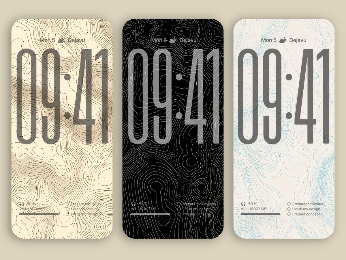

Explore the art of elevation with Contours of Meaning, a stunning collection of minimalist 8K wallpapers inspired by topographic lines. Designed for iOS 16 to the latest iOS 26 and Android devices, these wallpapers transform your screen into a sleek map of imagined landscapes. Each curve and contour whispers a hidden story — from mountain ridges to dreamlike valleys — all rendered in clean lines and elegant forms. It’s the perfect blend of natural geometry and modern aesthetics. Whether you’re a design lover, a geography geek, or just into that minimalist vibe, these wallpapers deliver a crisp, calming experience that makes your home screen look effortlessly smart. Say goodbye to clutter and hello to the quiet power of contour. Ready to zoom into meaning? Your phone’s next glow-up starts here.
You can download all these wallpapers on Dejavu Wallpaper!
Experience the magic of AI in advance! Let the infinite imagination of AI decorate your screens, bring you fresh delights every day.


To most people, contour lines are just squiggly marks on a map — a tangle of curves resembling fingerprints pressed into the paper. But these lines hold power. Silent and precise, they’ve shaped wars, inspired art, and traced the very paths of human movement.
Who First Drew the Earth’s “Fingerprint”?
The earliest known use of contour-like lines dates back to 1540, when Dutch scholar Peter Apian created a sectional map of a mining site using dashed lines to mark depth. But it wasn’t until the 18th century that contour lines became formalized. French engineer Ducarne de Blangy used them in military surveys — and in an era before satellites or GPS, this two-dimensional “language of elevation” often decided the fate of entire campaigns. Napoleon, for instance, used contour maps during his Italian campaign to outflank enemy positions.
A Centimeter of Ink, A Kilometer of Height
The magic of topographic maps lies in their ability to flatten a three-dimensional world into rings of meaning. Each contour line connects points at the same elevation above sea level. Closer lines mean steeper slopes; wider spacing signals gentler terrain.
This simple code is critical not just for hikers and architects, but for city planning, landslide monitoring, and even volcanic eruption forecasting.
Interestingly, different countries have different “accents” in their topographic maps. Japanese maps, for example, often feature extremely fine, dense lines that capture subtle terrain variations. U.S. military maps tend to exaggerate slopes and valleys to aid quick tactical interpretation.
Science, Art, or Earth’s Own Drawing?
Over the past decade, contour lines have quietly crossed over into design and art. From minimalist wallpapers to haute couture patterns, even AI-generated visual art has embraced them as icons of “data aesthetics.”
Why? Because contour lines offer a unique duality: order and chaos. Their patterns mimic the flow of water, the grain of wood, or even the neural networks of the brain. They’re both analytical and poetic — scientific tools that somehow feel deeply human.
Some contemporary artists see contour maps as humanity’s most elegant attempt to understand nature. Using metal wire, light, and 3D sculpture, they reinterpret topography as a form of spatial memory. One artist called it “geographic neural tissue.”
The Trail You Walk May Already Be a Line on the Map
Today, many fitness apps automatically record your hiking routes and generate elevation profiles. What looks like a simple walk becomes, in retrospect, a personal topographic map — a miniature echo of the land, shaped by your movement.
Topographic maps are no longer just tools. They are becoming part of our visual culture — part cartography, part autobiography. A record not just of terrain, but of presence.
So next time you see a map with thin silver lines coiling over black paper, pause for a moment. Those curves don’t just depict the shape of mountains — they trace how we’ve learned to read the Earth. And where you stand now may well be the meeting point of a hundred intersecting lines — geological, historical, and personal.